The destination masterplan

The
destination
masterplan

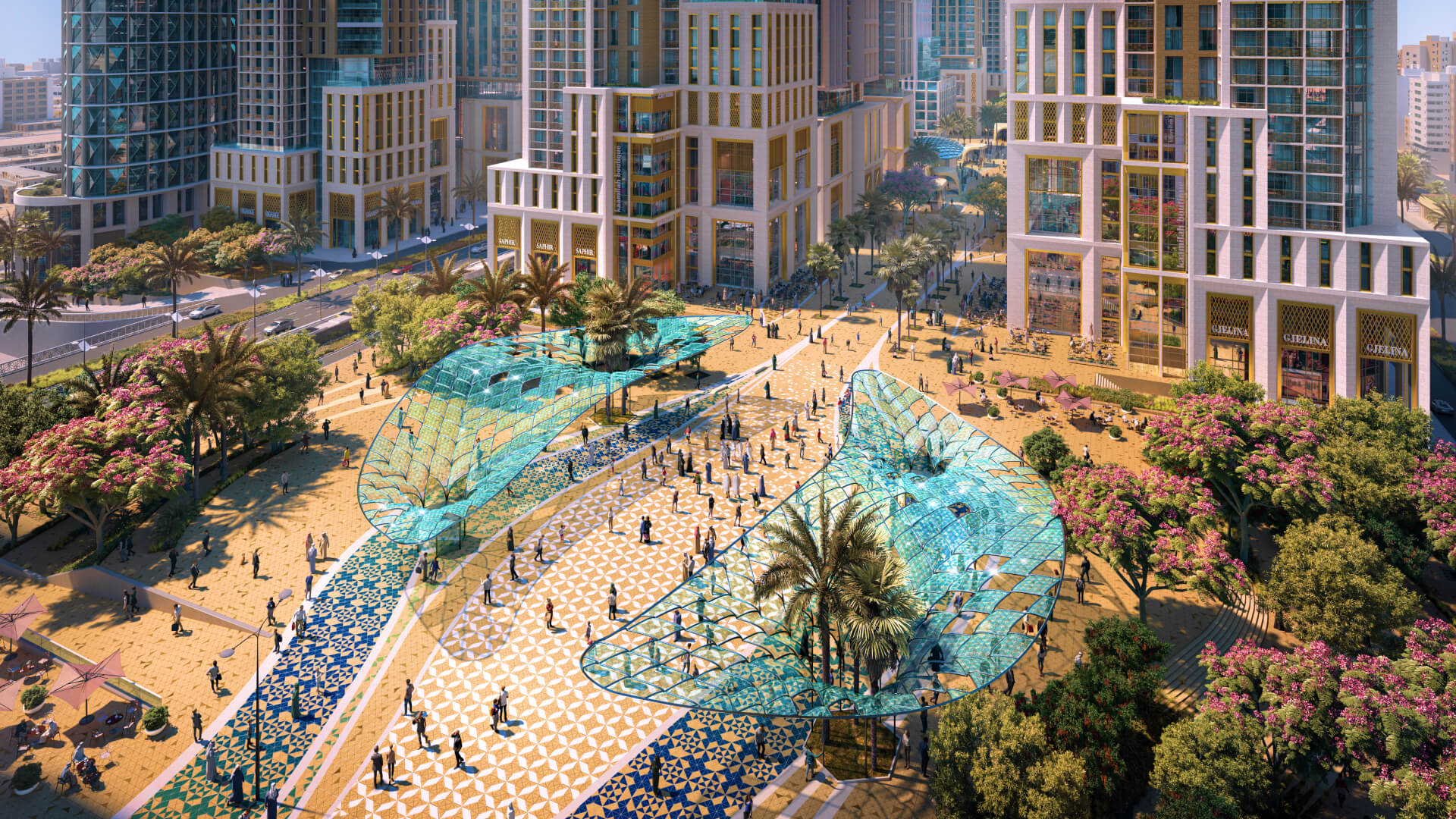
Our Master Plan has been designed to complement and enhance the natural landscape and maintain the natural flow of the underground water that shaped the land over millions of years, and has been divided into key development zones, each with its distinct set of offerings and facilities.

    masar_vision_image-02_hd
    9940
    masar_vision_image-01_hd
    CR_KAAR02_CGI19_04-zoom

Main boulevard
and Pedestrian walkways

Safe movement through the separation between pedestrian and vehicle movement

Roads
network

Mobility
solutions

infrastructure

THE
DESTINATION
IN NUMBERS

1.2
Million m²
Total project area
158
Thousand m²
Total Open spaces
3.65
Km
Length of Pedestrian Boulevard
205
plots
Development plots
367
Thousand m²
Roads network
158
Thousand
Total population
Timeline

Masar
completed
milestones

2015
2019
2020
2021
2022
2023

Explore the Masar
Destination Map

Masar Central Zone

652-masar-central-zone-map

Masar Central Zone

Masar Gate Zone

651-masar-gate-zone-map

Masar Gate Zone

Masar AlHaram Zone

650-masar-alharam-zone-map

Masar AlHaram Zone

Masar Destination

649-masar-destination-map

Masar Destination

By clicking “Accept All Cookies”, you agree to the storing of cookies on your device to enhance site navigation, analyze site usage, and assist in our marketing efforts.
Settings